
The moor on the Whitby road
The Hole of Horcum
By Jon Cosson · Last checked

At a glance
- Car park
- National Park car park at Saltergate on the A169, YO18 7NS; pay by card or app
- Circular walk
- 8.3 km (5.2 miles), 162 m (531 ft) of climb, two and a quarter to three hours
- Longer option
- 11 km with the Skelton Tower diversion, about four hours
- Toilets
- Two accessible portable toilets in the car park, none on the walk
- Dogs
- On a lead; sheep and Highland cattle graze the route
- Map
- OS Explorer OL27
From Thornton-le-Dale
By car. Drive west to Pickering on the A170, then north on the A169 towards Whitby. The Saltergate car park is at the top of the Hole, beside the road. Traffic comes fast down Saltergate Bank, so take care crossing.
By bus. The Coastliner 840 stops at Saltergate Hole of Horcum on selected journeys. Check both the outward and return times on our getting here page before you set out.
By train. Levisham station on the steam railway is the start of walks onto the moor above the Hole.
The circular walk
The National Park's promoted circular starts at the Saltergate car park and is moderate. Most of it is a broad, nearly level moorland track; the hard part is the steep stone path out of the Hole at the end, and the ravine of Dundale Griff needs care when wet.
- From the car park, cross the A169 with care and take the path north along the rim, following Horcum Dike, a prehistoric boundary bank that is a scheduled monument.
- At the gate, go through and follow the broad track south-west across Levisham Moor, signed for Dundale Pond. This is part of the Tabular Hills Walk.
- After about two miles, at Dundale Pond and its fingerpost, turn left, signed Dundale Griff to Hole of Horcum.
- Follow the path down Dundale Griff, a tree-lined ravine, keeping above the gorge.
- At the foot of the Griff, turn left up Levisham Beck to Low Horcum, an empty farmhouse built in 1811 and lived in until the 1960s.
- Keep north up the bottom of the Hole and climb the steep stone path back to the gate, then turn right along the rim to the car park.
The Skelton Tower diversion turns right at Dundale Pond towards Levisham station, adding about two miles and an hour to reach a roofless shooting lodge of about 1830 above Newtondale and the railway.
Just the view
For the view alone, an accessible viewing platform is a short walk from the car park on a Miles without Stiles route.
What you are looking at
The Hole was not carved by a glacier. The National Park explains that springs rising from the hillside have undermined the slopes above for thousands of years, widening a narrow valley into the bowl you see today. The local legend is that Wade the Giant scooped up a handful of earth to throw at his wife Bell, missed, and the clod became Blakey Topping, the lone hill to the east.
When to go
Late August is the time for the heather, when the moor and the sides of the Hole turn purple. Spring brings curlew, lapwing and golden plover, and from 1 March to 31 July the National Park asks for dogs on a short lead for the ground-nesting birds. Low cloud can hide the Hole completely, so check the forecast. There is nowhere to eat at Saltergate: the old Saltersgate Inn closed in 2007 and was demolished in 2018, so take food and water, or plan supper back in the village on our eating and drinking page.
Common questions
- How far is the Hole of Horcum from Thornton-le-Dale?
- It is on the A169 north of Pickering, on the way to Whitby. Drive to Pickering on the A170, then north on the A169 to the Saltergate car park.
- How long is the Hole of Horcum walk?
- The National Park's circular from Saltergate is 8.3 km, about five miles, with 162 m of climb, and takes two and a quarter to three hours. With the Skelton Tower diversion it is 11 km and about four hours.
- Where do you park for the Hole of Horcum?
- At the National Park's Saltergate car park on the A169, YO18 7NS, at the top of the Hole. Payment is by card or app.
- Is there a bus to the Hole of Horcum?
- Yes. The Coastliner 840 stops at Saltergate Hole of Horcum on selected journeys. Check the current timetable for both directions.
- Can you take a dog to the Hole of Horcum?
- Yes, on a lead. Sheep and Highland cattle graze the route, and from 1 March to 31 July the National Park asks for a short lead for nesting birds.
- Are there toilets at the Hole of Horcum?
- Two accessible portable toilets in the car park, and none on the walk.
More attractions near the village
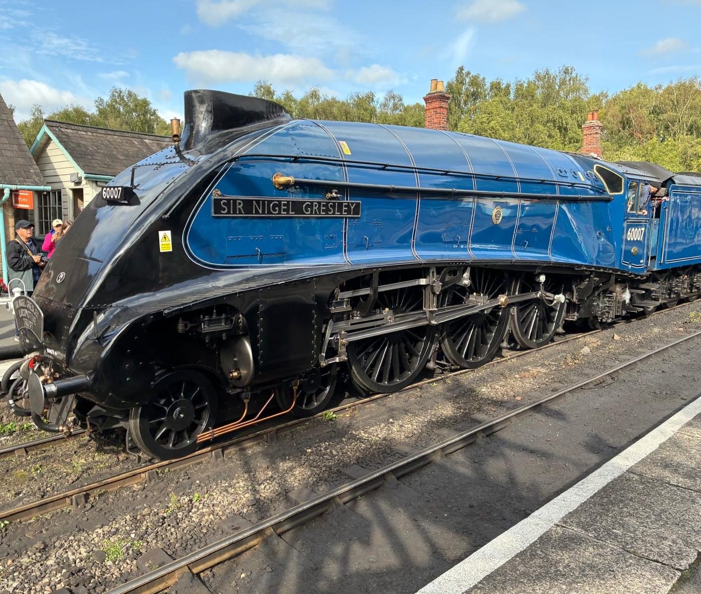
Steam from Pickering
North Yorkshire Moors Railway
The heritage steam line from Pickering across the moors to Goathland, Grosmont and Whitby, with the station about three miles from the village.
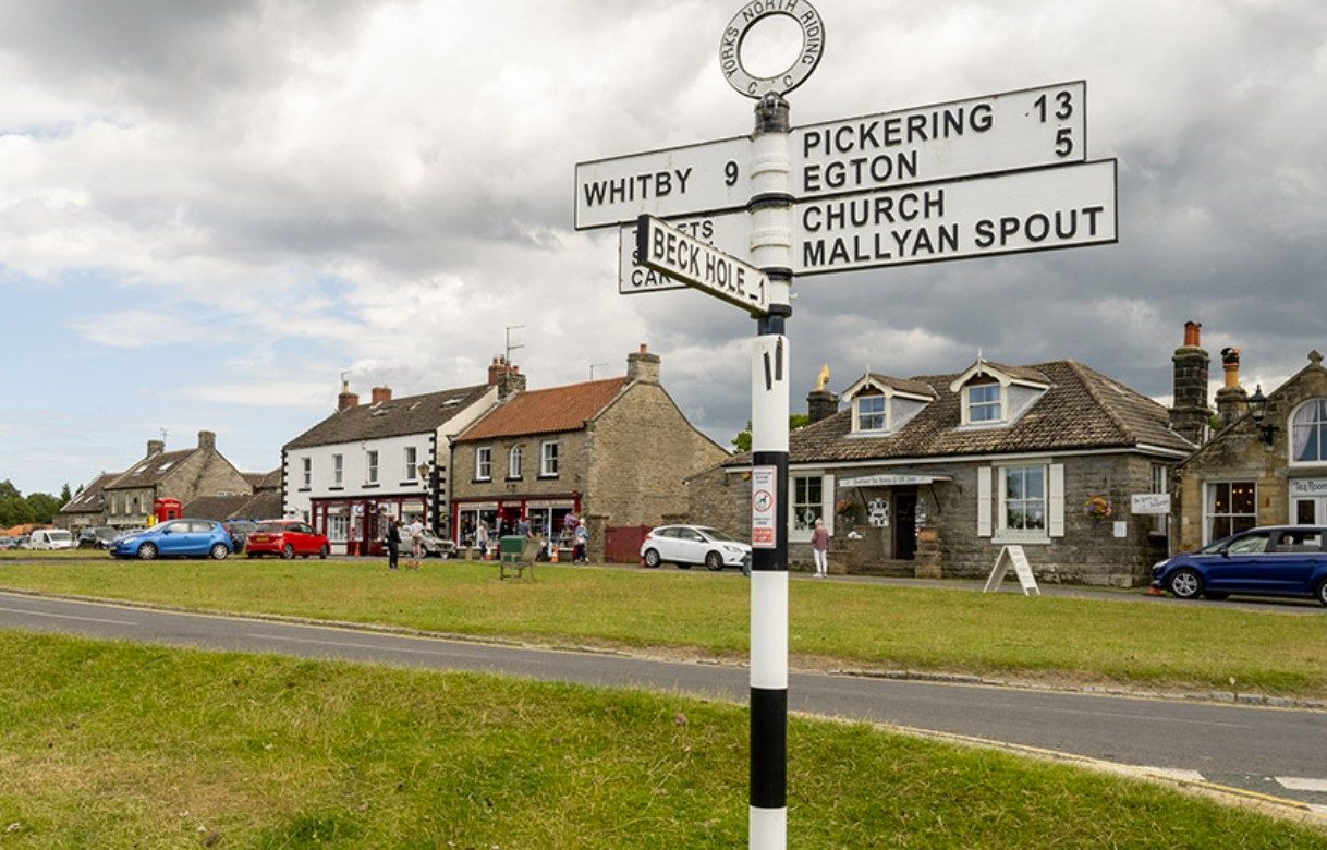
Heartbeat and Hogsmeade
Goathland
A day out to the Heartbeat village, about 13 miles away by car or a steam-train ride from Pickering, with the station used as Hogsmeade in the first Harry Potter film.
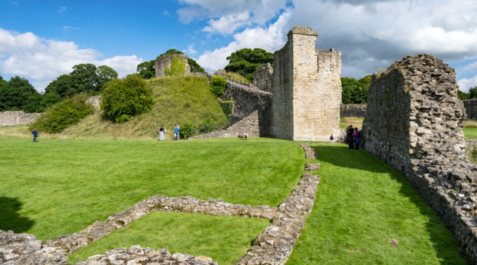
English Heritage
Pickering Castle
A Norman motte and bailey castle in Pickering, with towers standing almost to full height and views from the top of the motte.


Sources, checked 1 November 2026: North York Moors National Park, Hole of Horcum; National Park car park list; Historic England, Horcum Dike; Geograph photograph by Colin Park. Opening dates, prices and parking charges change, so check with each attraction before you travel.
Help shape this guide
This is an independent guide written in the village, and what goes in next is partly up to you. Vote, send an idea, or both.
What should the village guide cover next?
Got an idea?
A page you would like to see, a car, a walk, a correction, anything at all. I read every suggestion myself.
Ideas are used only to improve this guide. Privacy